Fundamentals of Remote Sensing and GIS
- Description
- Curriculum
- Reviews
- This course introduces students to the basics of remote sensing, characteristics of remote sensors, and applications in academic disciplines and professional industries.
- The course will equip you with everything you need to get started within the field of Remote Sensing and GIS.
- This should be your go-to course when it comes to understanding Remote Sensing and GIS, especially if you’re a beginner!
- You are a beginner? Don’t worry, the course has been designed to start from the foundational principles of remote sensing and GIS such that a beginner will easily understand.
- At the end of this course, you will understand and master the concepts of Remote Sensing and Geographic Information system (GIS).
- You will be able to explain how Remote Sensing and GIS are relevant to solve real-world problems.
Introduction to the Course
Module 1 - Fundamentals of Remote Sensing
-
2
 Basic Concepts and principles of Remote SensingThe definition and types of Remote Sensing
 -
3
Principles of Remote SensingDefinitions and understanding of atmospheric scattering.
-
4
Definition and Understanding of Displacement of Electromagnetic RadiationWhat happens when electromagnetic radiation is displaced?
-
5
Types of Atmospheric ScatteringDifferent types of how displacement happens to electromagnetic radiation in the atmosphere.
-
6
Application of Remote SensingWhat Remote Sensing can be used for?
-
7
 Module one Quiz
Module 2 - Fundamentals of Geographic Information System
Module 3 - The integration of Remote sensing and GIS
Module 4 - Remote Sensing Platforms
Module 5 - Remote Sensing Platforms
-
17
Introduction of Remote Sensing
-
18
Ground Based PlatformThis deals with sensors that acquire data from the ground surface.
-
19
Air borne based PlatformThis deals with sensors acquiring image data from the atmosphere.
-
20
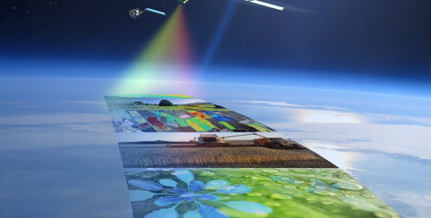
Space based PlatformThis deals with sensors acquiring images from space.
-
21
Module Five Quiz
Module 6 - Imagery Download and Image Restoration
Please, login to leave a review

Course details
Duration
3 hours
Lectures
20
Video
20
Quizzes
6
Level
Beginner
Popular courses